Image credits
Photographs, credits and licences
Every photograph on this site is a real image of the place it describes, used under a free licence from Wikimedia Commons. Each is listed below with its creator, source, licence and the changes we made.
Photographs licensed under CC BY-SA remain under that licence in their modified form here. We have resized all images and cropped where noted; we have not altered their content. Licences were checked on each file's source page on the date shown.
| Image | Subject and location | Creator, source and licence | Changes |
|---|---|---|---|
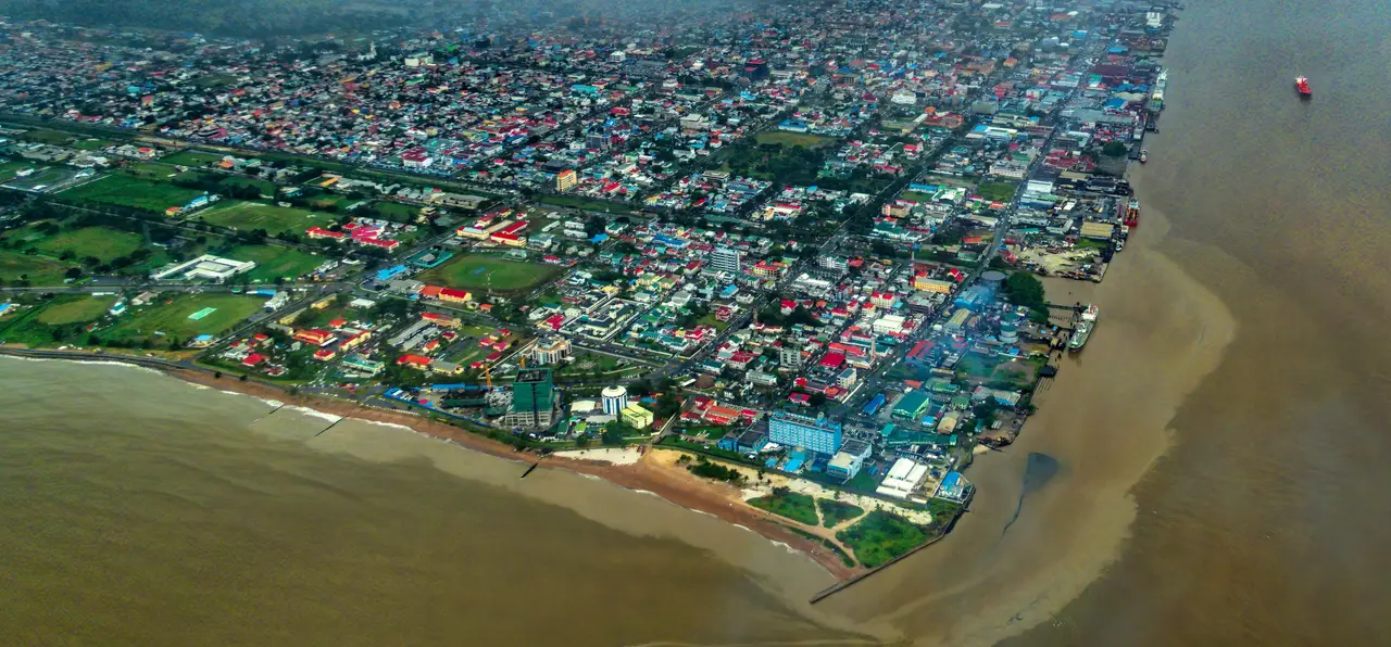 | Aerial view of central Georgetown at the mouth of the Demerara River, with the waterfront wharves along the river bank Georgetown, Demerara-Mahaica, Guyana, 2019-11-22 | Dan Lundberg Original file on Wikimedia Commons Licence: CC BY-SA 2.0 Checked 28 October 2026 | Cropped (top 30% of low cloud removed), resized and converted to WebP |
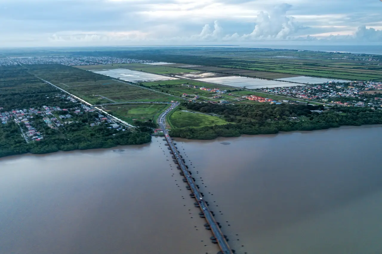 | The original floating Demerara Harbour Bridge crossing the Demerara River, seen from an aircraft Demerara River near Georgetown, Guyana, 2019-11-22 | Dan Lundberg Original file on Wikimedia Commons Licence: CC BY-SA 2.0 Checked 28 October 2026 | Resized and converted to WebP |
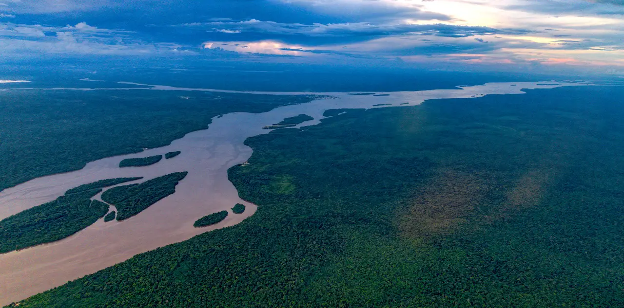 | Aerial view of the Essequibo River and surrounding rainforest Essequibo River, Guyana, 2019-11 | Dan Lundberg Original file on Wikimedia Commons Licence: CC BY-SA 2.0 Checked 28 October 2026 | Resized and converted to WebP |
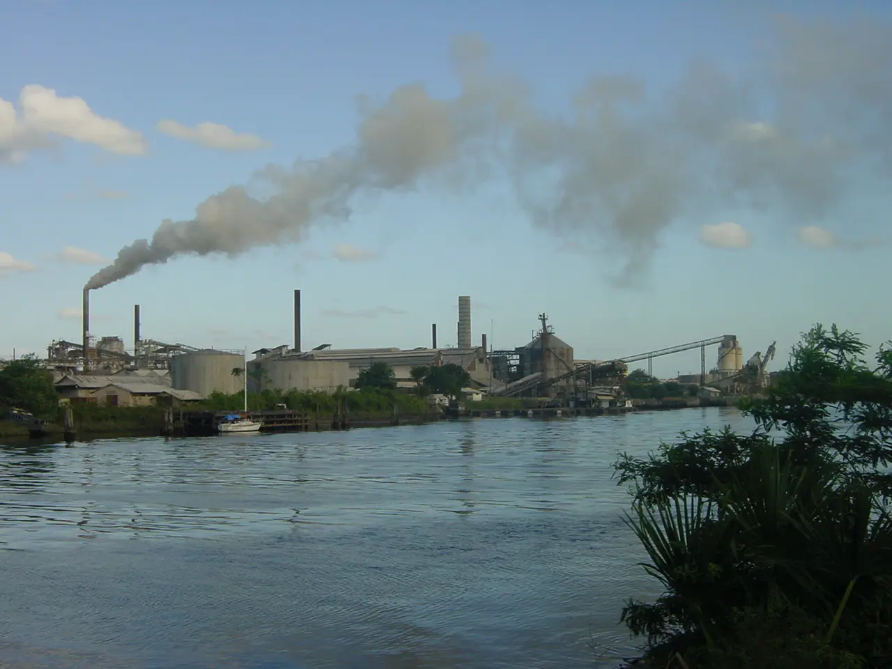 | Bauxite processing plant on the Demerara River at Linden Linden, Upper Demerara-Berbice, Guyana, 2003-01-24 | Jane Peters Original file on Wikimedia Commons Licence: CC0 1.0 Checked 28 October 2026 | Resized and converted to WebP |
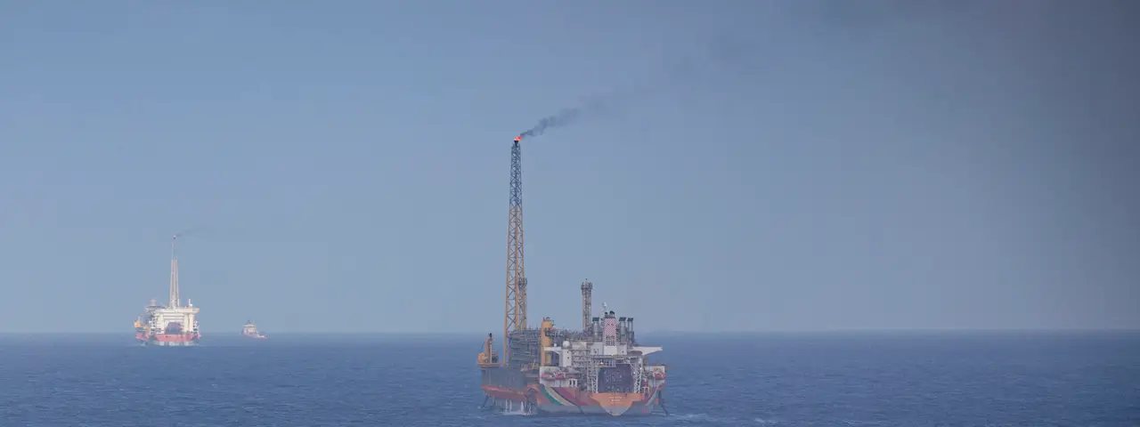 | Floating production, storage and offloading (FPSO) vessels in the Stabroek Block offshore Guyana Stabroek Block, Atlantic Ocean offshore Guyana, 2025-03-27 | U.S. Navy photo by Petty Officer 2nd Class Dylan Kinee Original file on Wikimedia Commons Licence: Public domain (work of the U.S. federal government) Checked 28 October 2026 | Cropped to the production vessels (a naval ship in the foreground of the original is excluded), resized and converted to WebP |
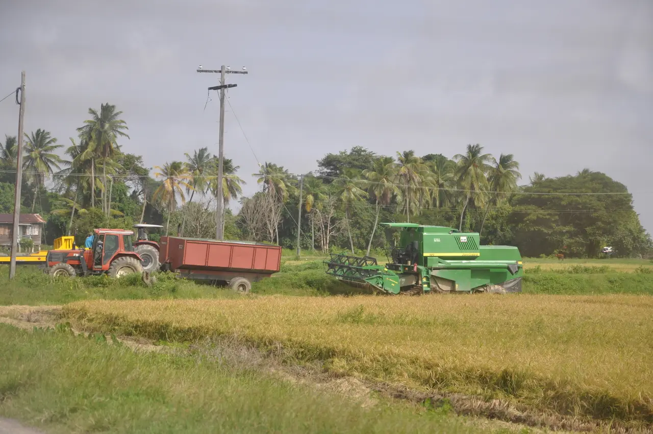 | Combine harvester and tractor-trailer harvesting rice Pomeroon-Supenaam region, Guyana (photo coordinates 7.149, -58.478), 2012-03-01 | Marco Farouk Basir Original file on Wikimedia Commons Licence: CC BY-SA 3.0 Checked 28 October 2026 | Resized and converted to WebP |
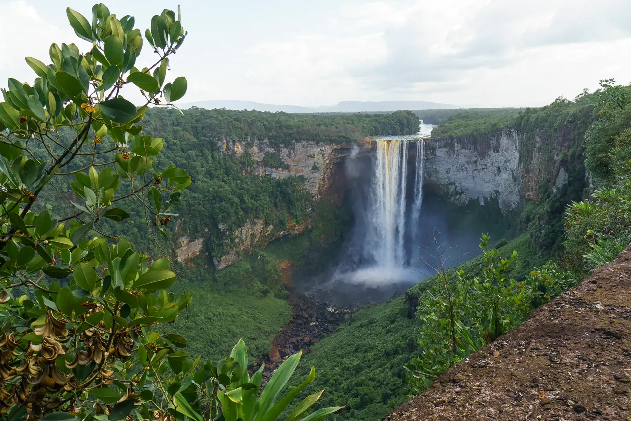 | Kaieteur Falls seen from a lookout on the plateau trail Kaieteur National Park, Potaro-Siparuni, Guyana, 2015-12 | Dan Sloan Original file on Wikimedia Commons Licence: CC BY-SA 2.0 Checked 28 October 2026 | Resized and converted to WebP |
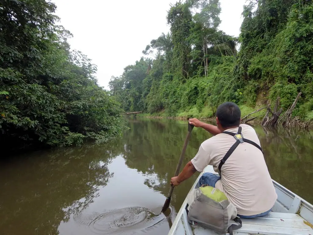 | A local guide paddling a canoe on the Burro Burro River near Surama Eco-Lodge Burro Burro River near Surama, North Rupununi, Guyana, 2014-02-06 | David Stanley Original file on Wikimedia Commons Licence: CC BY 2.0 Checked 28 October 2026 | Resized and converted to WebP |
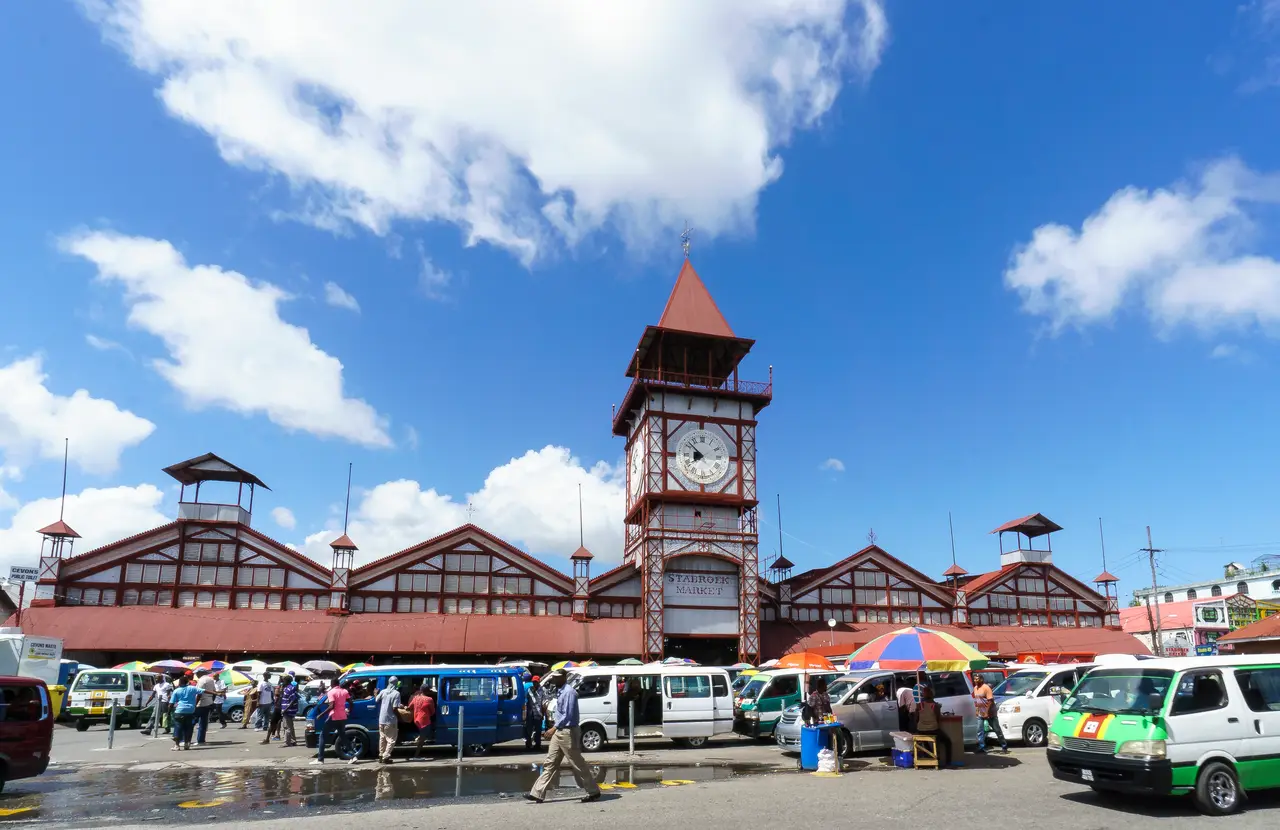 | Stabroek Market and its clock tower with the minibus park in front Water Street, Georgetown, Guyana, 2015-12-03 | Dan Sloan Original file on Wikimedia Commons Licence: CC BY-SA 2.0 Checked 28 October 2026 | Resized and converted to WebP |
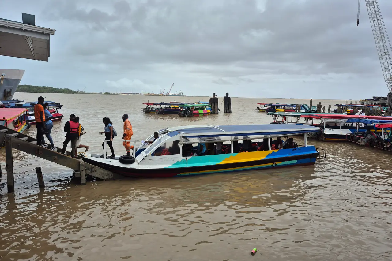 | Passengers boarding a water taxi at a landing on the Demerara River in Georgetown Georgetown waterfront, Demerara River, Guyana (coordinates on the source page), 2025-02-12 | John Cray Original file on Wikimedia Commons Licence: CC BY-SA 4.0 Checked 30 October 2026 | Cropped to 3:2 (part of the sky removed), resized and converted to WebP |
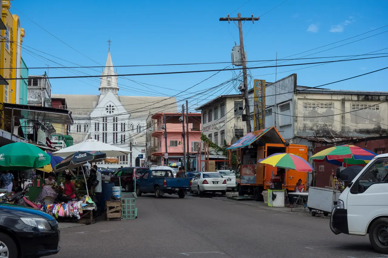 | Office building and street in central Georgetown Central Georgetown, Guyana, 2015-12-03 | Dan Sloan Original file on Wikimedia Commons Licence: CC BY-SA 2.0 Checked 28 October 2026 | Resized and converted to WebP |
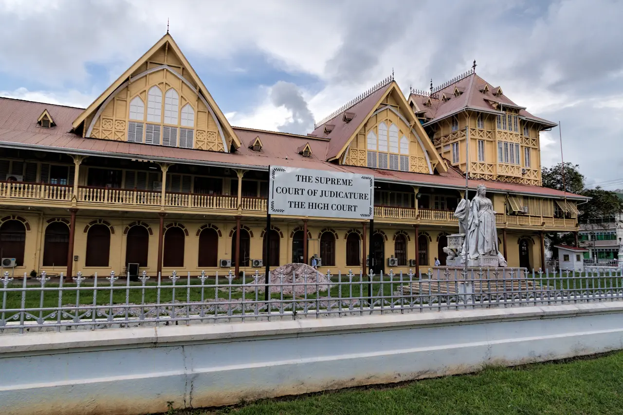 | The Supreme Court of Judicature (High Court) building in Georgetown Georgetown, Guyana, 2019-11-21 | Dan Lundberg Original file on Wikimedia Commons Licence: CC BY-SA 2.0 Checked 28 October 2026 | Resized and converted to WebP |
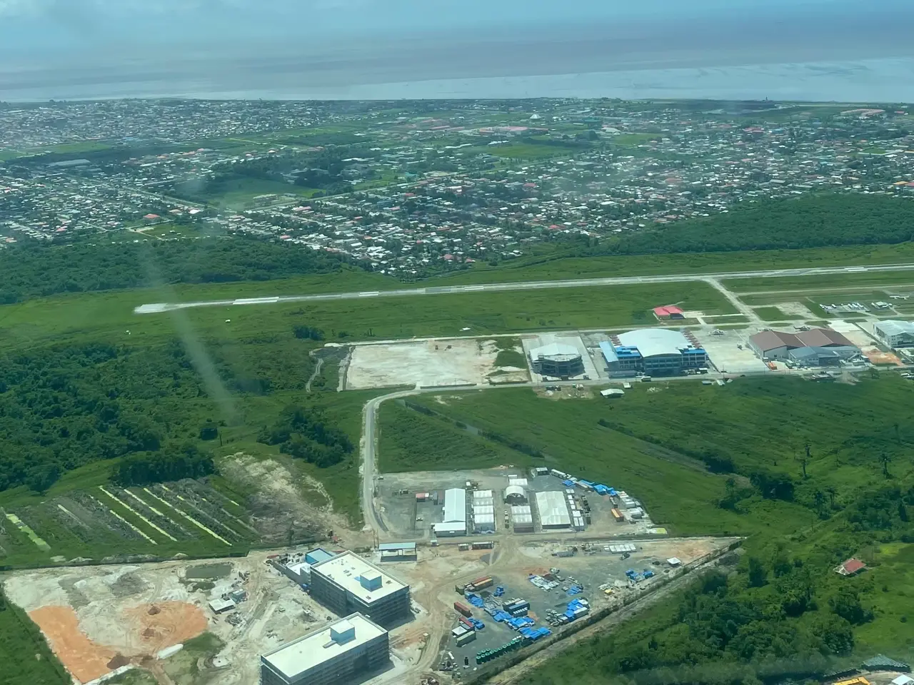 | Aerial view of the Eugene F. Correia International Airport (Ogle) with Georgetown in the background Ogle, East Coast Demerara, Guyana, 2023-07-09 | Caribiana Original file on Wikimedia Commons Licence: CC BY-SA 4.0 Checked 28 October 2026 | Resized and converted to WebP |
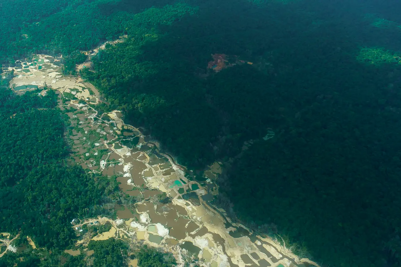 | Aerial view of an alluvial gold-mining area in Guyana's forested interior, with tailings ponds and cleared ground along a valley Interior of Guyana (exact location not stated by the source), 2015-12-10 | Dan Sloan Original file on Wikimedia Commons Licence: CC BY-SA 2.0 Checked 29 October 2026 | Resized and converted to WebP |
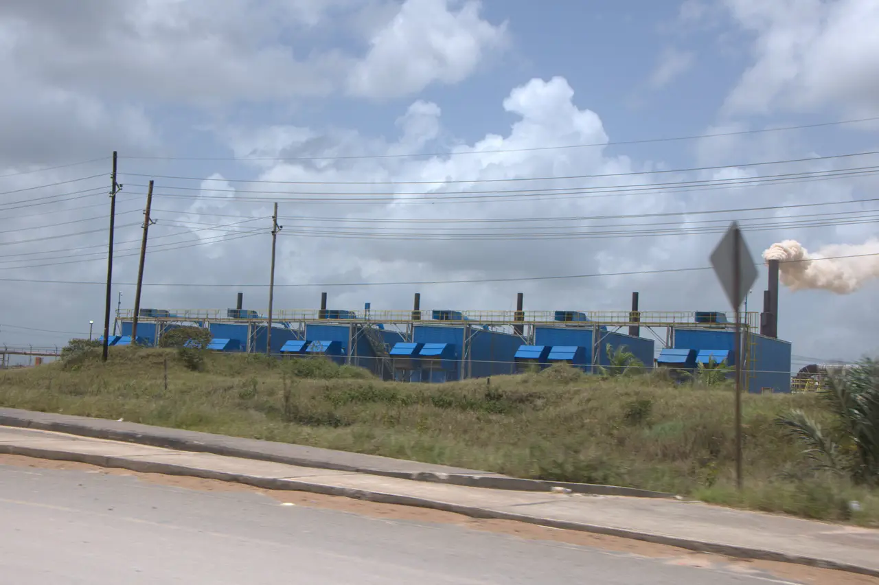 | A power station of containerised generating units beside a road, with overhead electricity lines, at Linden Linden, Upper Demerara-Berbice (photo coordinates 6.0139, -58.2821), 2011-04-06 | Marco Farouk Basir Original file on Wikimedia Commons Licence: CC BY-SA 3.0 Checked 30 October 2026 | Resized and converted to WebP |
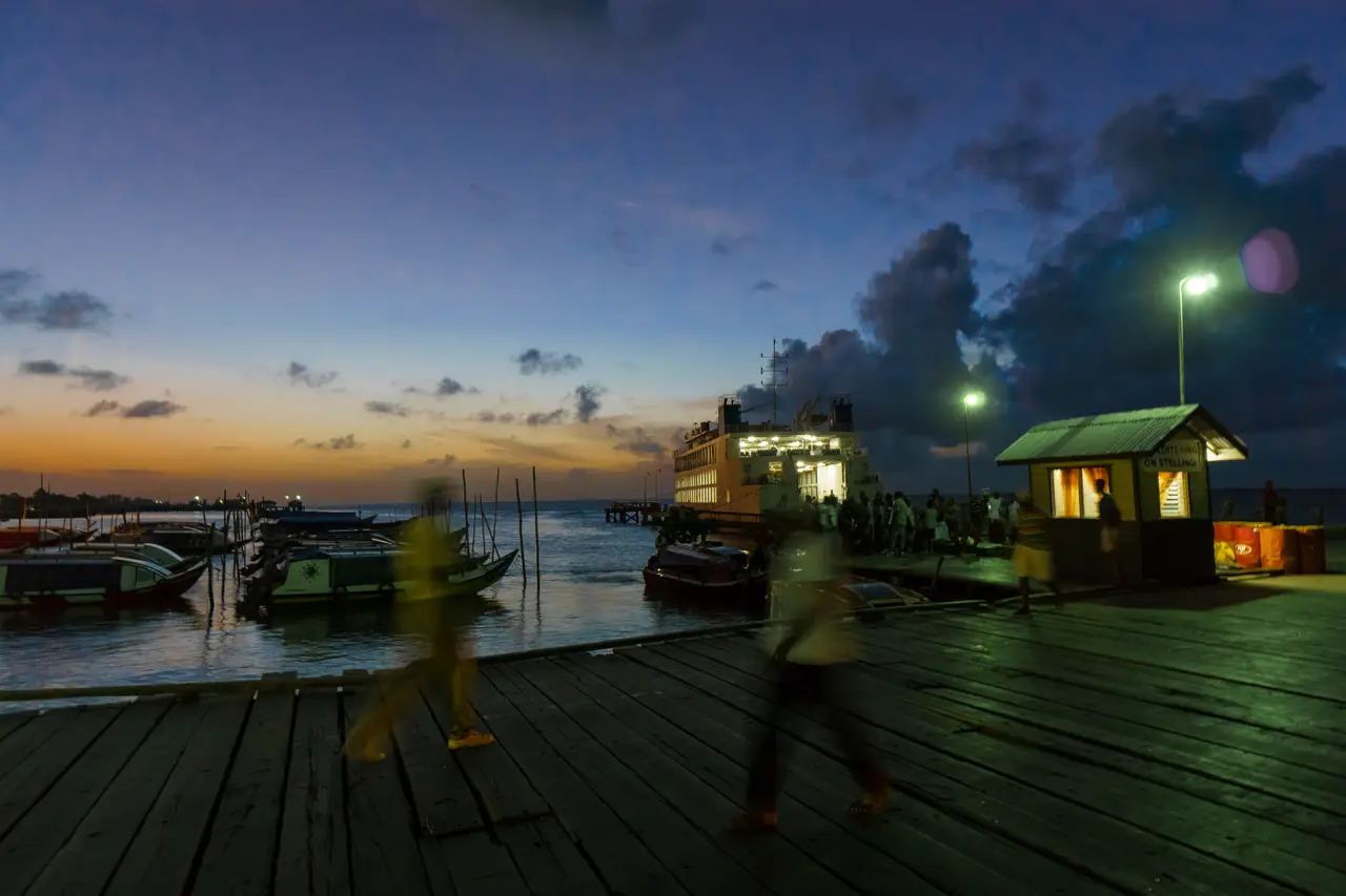 | Wooden wharf with moored boats and a ferry at dusk, Parika Parika, Essequibo Islands-West Demerara (as stated by the source), 2015-12-09 | Dan Sloan Original file on Wikimedia Commons Licence: CC BY-SA 2.0 Checked 30 October 2026 | Resized and converted to WebP |